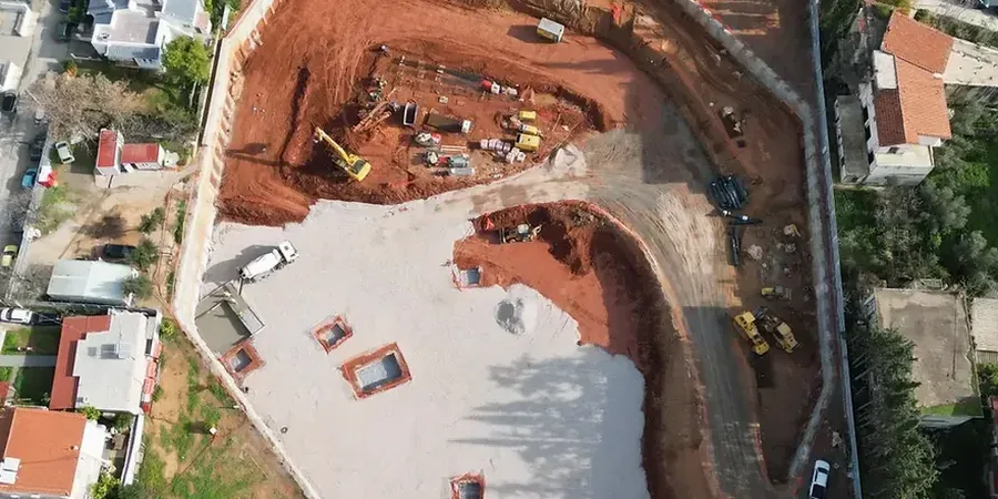
In Jacksonville, the decision to go deep on a site isn't just about maximizing square footage; it's a direct negotiation with the Floridan aquifer. The water table sits barely 4 to 8 feet below the surface across much of Duval County, meaning any excavation beyond a single story becomes a hydraulic operation from day one. We've designed shoring systems for projects along the St. Johns River where the stratigraphy shifts from loose silty sands to weathered limestone within a vertical span of 20 feet, a transition that demands more than a textbook solution. Before finalizing a support scheme, we routinely correlate data from CPT testing with laboratory shear strength results to map exactly where the limestone pinnacles occur, since hitting one unprepared can stall a project for weeks. For sites near the Intracoastal Waterway where salinity accelerates steel corrosion, our team specifies sacrificial thicknesses and protective coatings that go beyond minimum code requirements, drawing on years of observation of local marine environments.
Designing an excavation in Jacksonville means engineering for water pressures that equal 62 pcf times the full depth, not just the net soil load.
Regulatory framework
ASCE 7-22 Minimum Design Loads and Associated Criteria for Buildings and Other Structures, IBC 2021 Chapter 18 Soils and Foundations, ASTM D1586 / D1586M-18 Standard Test Method for Standard Penetration Test (SPT) and Split-Barrel Sampling of Soils, ASTM D2487-17 Standard Practice for Classification of Soils for Engineering Purposes (Unified Soil Classification System), FHWA GEC 4 – Ground Anchors and Anchored Systems (2021), AASHTO LRFD Bridge Design Specifications, 9th Edition (2020)
Questions and answers
What is the typical cost range for geotechnical design of a deep excavation in Jacksonville?
For a typical mid-rise excavation in Duval County, the geotechnical design scope—including subsurface investigation interpretation, retaining wall design, anchor/structure design, dewatering analysis, and ground movement assessment—ranges from US$2,360 for a straightforward single-level basement to US$7,430 for a complex multi-level excavation with adjacent historic structures and challenging groundwater control. The final fee depends on the excavation footprint, depth, proximity to the St. Johns River, and the level of FDEP permitting coordination required.
How do you address the high groundwater table in Jacksonville excavations?
The shallow Floridan aquifer is the primary design constraint in Jacksonville. We integrate hydraulic control into the structural design from the start, typically using a combination of external deep wells with submersible pumps, internally raked wellpoints for residual seepage, and in cases where drawdown could affect adjacent properties, a jet grout or slurry cutoff wall extending into the Hawthorne Formation to create a hydraulic barrier. The design includes a seepage analysis to verify that exit gradients at the excavation base remain below critical values, with a factor of safety of at least 1.5 against piping and basal heave.
What are the key differences between designing an excavation near the St. Johns River versus inland Jacksonville?
Sites near the river typically encounter a thicker sequence of Holocene alluvium with lower SPT N-values, higher organic content, and a direct hydraulic connection to the river stage, which fluctuates tidally and seasonally. This requires a more solid water control system and wall embedment that accounts for rapid drawdown conditions. Inland sites often encounter the Hawthorne Formation at shallower depths, which provides a competent anchor bond zone but can contain layers of phosphatic clay that exhibit low drained friction angles and require longer bond lengths. The seismic site class also tends to be D near the river and E inland due to deeper soft soil profiles.
Which retaining wall type do you recommend most often in Jacksonville?
For excavations deeper than 15 feet in Jacksonville's sandy soils, we most frequently specify soldier pile and lagging walls with tieback anchors. This system handles the high lateral earth and hydrostatic pressures well, allows for easy groundwater drainage through the lagging gaps, and adapts to variable limestone pinnacle depths since soldier piles can be socketed into the rock as needed. In urban settings with adjacent structures within the zone of influence, we transition to secant pile walls for their superior water cutoff and reduced ground loss, though they carry a higher unit cost.
How do you account for Jacksonville's sinkhole and karst risk in deep excavation design?
The Ocala Limestone beneath Jacksonville is known for dissolution features including pinnacles, cavities, and potential sinkholes. Our design process includes a pre-excavation karst screening using electrical resistivity tomography to identify low-density zones along the planned wall alignment. Where anomalies are detected, we perform probe drilling and, if voids are confirmed, pressure grout them before excavation begins. For anchored walls, we avoid terminating bond zones in karst-influenced limestone; instead we extend anchors into the overlying competent clay or use a deadman system where rock quality is too variable to trust a bonded anchor.