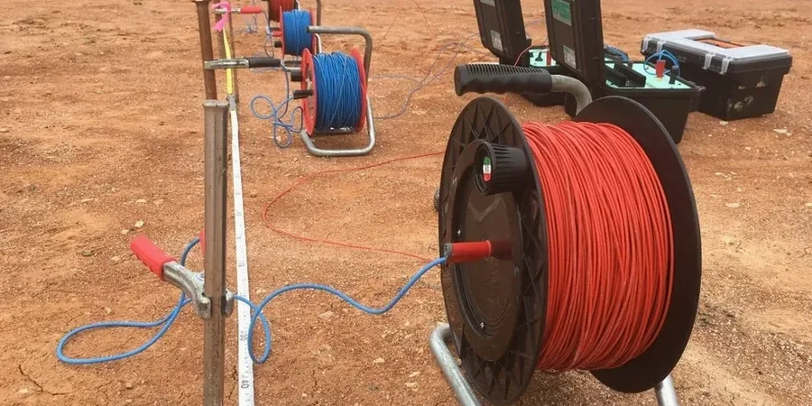
Jacksonville’s growth from a river crossing to the largest city by area in the contiguous United States has pushed development into every corner of Duval County’s 875 square miles. What many contractors discover too late is that the shallow stratigraphy here is wildly inconsistent—ancient dune sands, Pliocene shell beds, and the limestone of the Hawthorn Group all inter-finger within a few city blocks. A standard boring program tells you what’s at the drill point, but it won’t show what’s happening between boreholes. That’s where electrical resistivity fills the gap. We run dipole-dipole and Wenner arrays across proposed building pads to map lateral changes in clay content, moisture, and bedrock depth before the first excavator arrives. For deeper profiling, we complement the resistivity lines with seismic refraction when velocity contrasts matter as much as conductivity.
Shallow groundwater and variable Hawthorn limestone make Jacksonville a near-perfect environment for electrical resistivity—if you know which array geometry to deploy.
Local geotechnical context
Arlington and the Westside tell two completely different geotechnical stories. On the Westside, near the McGirts Creek basin, the soil column is mostly medium sand to 30 feet—resistivity values above 200 ohm-m are common, and you can interpret lithology with reasonable confidence. Arlington, especially east of the Regency area, sits on a much messier sequence: thin sands over weathered limestone riddled with solution cavities. Here, resistivity can swing from 500 ohm-m in competent rock to under 30 ohm-m in a clay-filled void within the same electrode spread. If you treat the whole site with a single boring log, you’ll miss those cavities entirely. We’ve mapped several karst features in the Arlington area that were completely invisible to standard SPT drilling—one measured 12 feet across and sat directly under the proposed elevator core. The SPT drilling crew later confirmed the void with air loss and rod drops, but the resistivity data flagged it two weeks earlier for a fraction of the investigation cost.
Questions and answers
How much does an electrical resistivity survey cost for a typical Jacksonville commercial lot?
For a standard half-acre commercial parcel with a single 2D line and three VES points, the cost typically falls between US$680 and US$1,040, depending on line length, electrode count, and site access conditions. Larger sites with multiple parallel lines or 3D grids scale proportionally. We provide a fixed-price proposal after reviewing your site plan—no surprise mobilization charges.
Can resistivity distinguish between dry sand and limestone in Jacksonville?
Usually, yes. Dry quartz sand typically shows resistivity above 500 ohm-m, while the Hawthorn Group limestone—especially when saturated—reads between 80 and 300 ohm-m. Clay-rich layers drop below 30 ohm-m. The contrast is strong enough that we can map the sand-limestone interface with confidence, though we recommend at least one calibration boring or CPT to anchor the geophysical interpretation.
How deep can a VES survey reach in the Jacksonville area?
With a maximum electrode spread of 200 to 300 feet, a Schlumberger VES can reach 80 to 100 feet of penetration in Jacksonville soils. The practical limit depends on the resistivity of the near-surface layer and ambient electrical noise—downtown sites near power lines or tram tracks sometimes need a tighter spread and shallower target depth.
Does shallow groundwater affect the resistivity readings?
It does, and in Jacksonville that’s actually an advantage. The high water table—often 4 to 6 feet below grade—saturates the pore space and amplifies the resistivity contrast between sand, clay, and rock. We model the water table as a known boundary and invert the data accordingly. The result is usually better vertical resolution than you’d get in a dry desert environment.