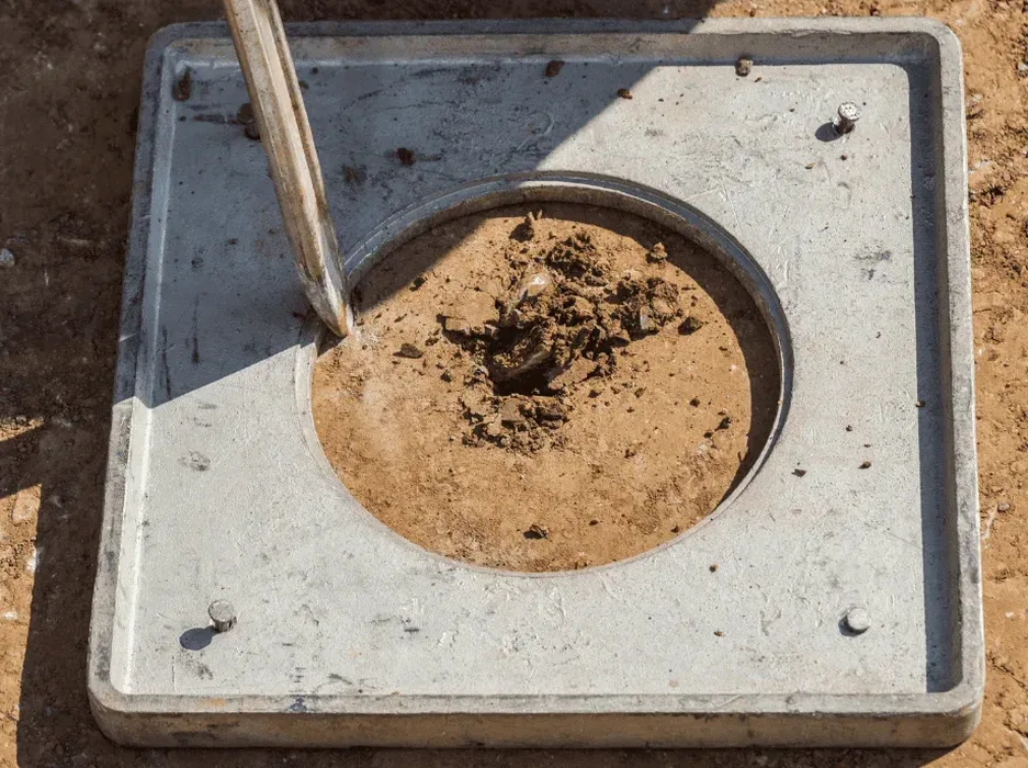
The difference in ground behavior between a site in Riverside and one out near the beaches is night and day. In Riverside, you might find older, more consolidated sediments, but once you cross the Intracoastal, the loose, saturated sands become the primary concern. A standard geotech report isn't enough when the water table sits just a few feet down. We run the numbers on cyclic stress ratios because Jacksonville's seismic history, while moderate, combines with its geology to create a genuine risk. Before finalizing a foundation design, we often pair this with a detailed CPT test to profile the stratigraphy continuously, which is far more reliable than guessing from a single boring in these highly variable coastal deposits.
Liquefaction isn't just an earthquake problem; it's a groundwater problem. In Jacksonville, the shallow water table turns moderate shaking into a potential bearing capacity failure.
Local geotechnical context
The contrast between Jacksonville's inland clayey zones and the coastal barrier island sands defines our approach to risk. Out near the beaches, the sand is young, poorly graded, and fully saturated, a textbook scenario for liquefaction if a seismic event hits, even a moderate one originating from the Bahamas Fracture Zone. The real danger isn't just the shaking; it's the post-liquefaction settlement and lateral spreading toward creek channels and the St. Johns River. A structure can lose plumb or suffer differential settlement that totals the foundation. We map the liquefaction potential index across the site to flag these zones early, so the civil team doesn't waste money designing for a soil that fundamentally shifts under load.
Questions and answers
What is the typical cost for a liquefaction analysis in Jacksonville?
For a standard commercial site in Jacksonville requiring two borings with SPT sampling and the full liquefaction triggering report, the fee typically falls between US$2.860 and US$3.760. The final number depends on the depth of the exploratory borings and the number of samples we need to run fines content tests on.
Does Jacksonville really need a liquefaction study? We don't get big earthquakes here.
It's a fair question. While Jacksonville isn't on a major plate boundary, the USGS hazard maps assign a moderate seismic hazard to the area. The primary issue isn't the magnitude; it's the soil. The loose, saturated sands along the St. Johns River and the beaches are susceptible to liquefaction even under moderate shaking. If your site is in a seismic site class E or F, the building code requires the analysis.
How deep do you typically drill for a liquefaction assessment?
We generally investigate to a depth of 50 to 60 feet. Liquefaction rarely occurs deeper than 50 feet, but in an area like Jacksonville where the geology includes deep paleochannels, we sometimes go deeper to ensure we haven't missed a loose layer. The depth is always tied to the site-specific groundwater level.
What's the difference between an SPT and a CPT for liquefaction?
The SPT gives us a physical soil sample we can test for fines content, which is a critical input for the cyclic resistance ratio. The CPT provides a nearly continuous profile of tip resistance and pore pressure. In our Jacksonville work, we often use SPT as the primary tool and recommend a supplemental CPT to bridge the gaps between borings in highly stratified ground.
How long does it take to get the liquefaction report?
From the day our drill crew finishes in the field, you can expect the final geotechnical report with the liquefaction analysis in about two to three weeks. The lab time for the grain size analyses on the collected samples usually dictates the schedule.